Change language: Dutch (Nederlands) ![]()
A photo tour around the old Nürburgring Südschleife. I show you the survived parts of this forgotten part. One section is now public road, while another section is abandoned. There is also an authentic part wich is now the entrance road to the parking of the Grand Prix Strecke.
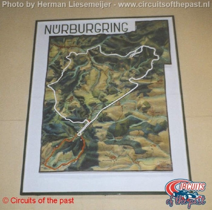
Above a map from the original layout of the entire Nürburgring. The red part is the Südschleife.

Unless the fact that this part has been reconstructed dramatically, the Start/Finish is still on the same place. This section was the so-called Start und Ziel Schleife (Start/Finish Loop) and was localized between the North and the South Loop.
Public road…

On this parking was the begin of the Nürburgring Südschleife.


The beginning of the Bränkekopf section. This part is now the public road from the village of Nürburg to Müllenbach.
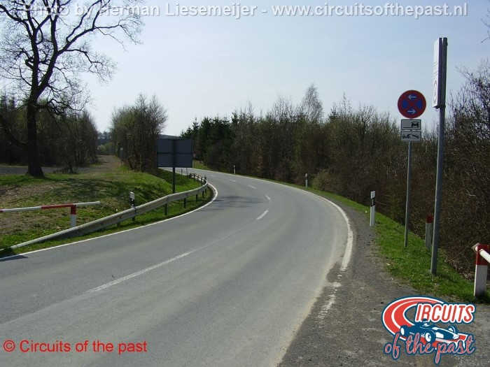
Some corners on this section have been modified to make it suitable for traffic.


We pass the camping site “Camping am Nürburgring”.

Opposite the entrance of the camping site are the remains of an old telephone post from the marshalls.


Where you see the right hand corner in the road was the old Bocksberg Kurve (Bocksberg Corner). Compare to the current corner it was more a kink. The public road leaves here the traject of the Nürburgring Südschleife…

To stay on the old Nürburgring Südschleife you have to take the parallel road which brings you to this commercial area. This was the short straight after the Bocksberg Corner.

Originally enough, they called this street the Südschleife.

Today this is a dead end. The turning point is exact on the site of the old Müllenbach Kurve (Müllenbach Corner).

The Müllenbach Corner was the Southern angle of the track where the drivers turned right to the North.

Here the track continued…

Do you see the space between the trees? That’s where the old Nürburgring Südschleife was.
The abandoned section of the old Nürburgring Südschleife

After a detour we arrive at an authentic abandoned part of the Nürburgring Südschleife…

This part is not used for anything today, it’s abandoned.


The preserved part of the old Nürburgring Südschleife

From here the old Nürburgring Südschleife is used as an entry to the parking lot from the current Grand Prix Strecke (Grand Prix Circuit).

The Rassrück section is still in a good condition.


At the end of the fast Rassrück section they had to brake very hard for the slow entry to the Scharfer Kopf section.


When the’re no events the road is closed.

Here ends the authentic part of the Nürburgring Südschleife. The next part is public road.

This road is following the long left hand corner of the Scharfer Kopf section.
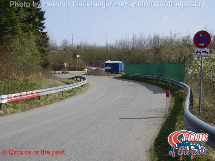

Here was the conection between the Südschleife and the Start und Zielschleife. The track used to go straight on, were the public road turns right to the tunnel underneath the Grand Prix Circuit. In the old day’s the circuit went underneath the public road.
© Text en pictures: Herman Liesemeijer
Subscribe to our YouTube Channel: youtube.com/circuitsofthepast